GTX
GTX Imaging
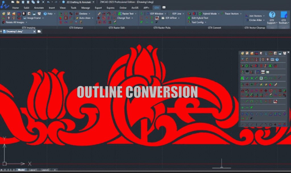
GTX is the leader in offering advanced technical imaging solutions to help clean up, edit and convert your scanned archival engineering drawings and maps in a full-featured CAD environment. Or, convert raster data to precise vectors in 100% AutoCAD®-compatible DWG or DXF files! There are two versions:
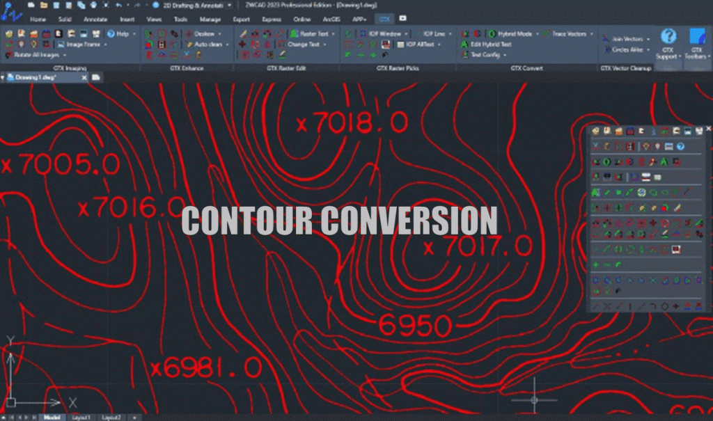
ImageCAD™ Series V21.0

100% AutoCAD®-compatible DWG or DXF files!
GTX solutions are designed and developed for use in the following industries:
Mechanical CAD (MCAD)
Automated Mapping and Facilities Management (AM/FM)
Architectural, Engineering, and Construction (AEC)
Geographical Information Systems (GIS)
Power Generation, Oil and Gas
Military
Government
Service Bureau markets.
There are two versions:
- Stand-alone application with all the CAD vector and raster functionality you need for vector drafting and raster manipulation.
- 100% AutoCAD
- DWG/DXF/DWT Compatibility
- Powered by Autodesk OEM
- Full vector CAD drafting functionality & drawing aids
- 1500+ Vector Commands and Features
- Ribbon, Toolbars, Menus, and Command Line
Entire suite of GTX Raster Technology
- Raster-To-Vector /Vector-To-Raster Conversion
- Color Separation
- Automatic Image Clean Up
- PDF Import – PDF Conversion to TIFF
- Intelligent Paper to CAD Solutions®
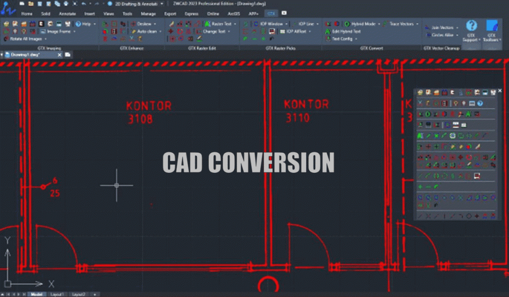
RasterCAD Series 2023

contains all the raster editing and manipulation capabilities of GTXRaster CAD with the added functionality of automatic raster to vector conversion technology for the AutoCAD, BricsCAD, or ZWCAD environments. Engineering Designers take advantage of the GTX industry leading software that has been providing solutions for over three decades!
AutoCAD 2023® – 100% compatible – built with AutoCAD 2023 API
Raster-To-Vector Conversion (CAD/Contour)
Raster-To-Text Recognition
Vector-To-Raster Conversion
Color Separation/Color Reduction
Automatic Image Clean Up
Raster Object Editing
Raster/Vector Snapping
Intelligent Object Picking/Selection
PDF Import/Export – PDF Conversion to TIFF
Intelligent Paper to CAD Solutions®
